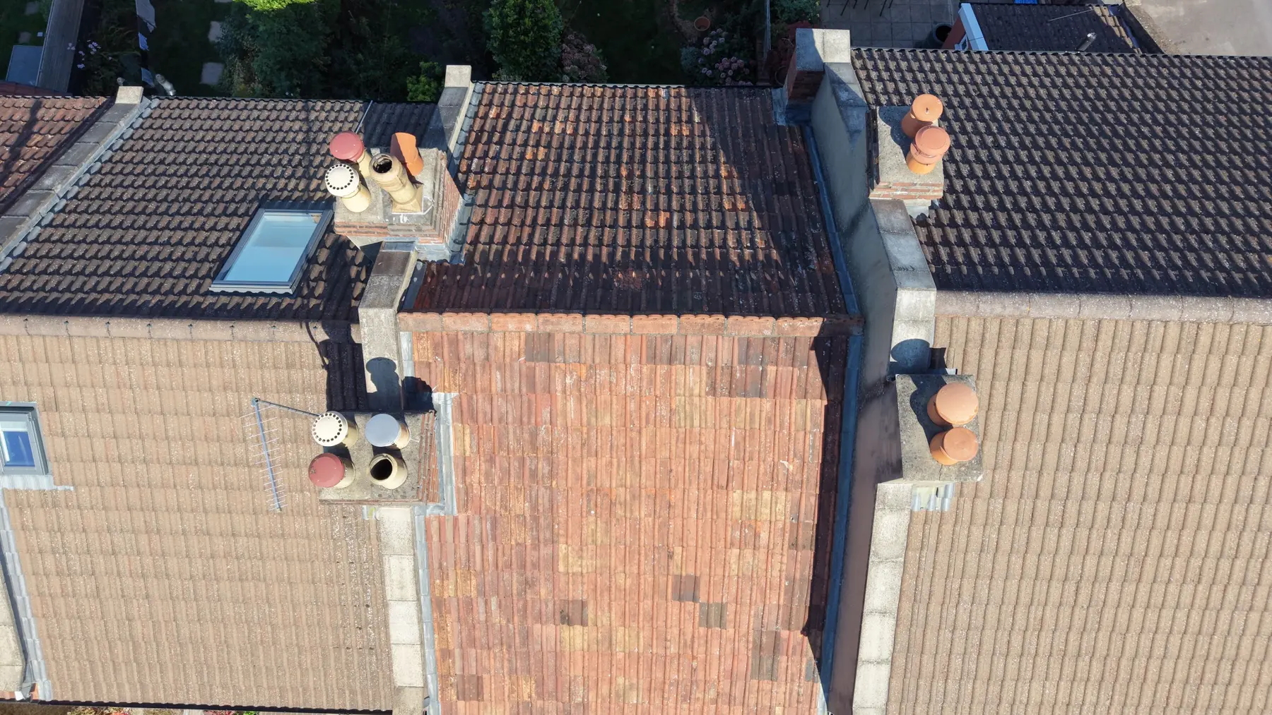
From £295 + VAT
Roof Condition Capture
Systematic imagery of roofs, chimneys, rainwater goods and junctions.
- 20–30 labelled images
- Annotated observations summary
- 48-hour standard delivery
CAA licensed & insured commercial drone pilot
BES provides drone surveys in Bristol to help you inspect and understand areas of a property that are difficult to view from the ground. Tell us what you need to investigate so we can discuss a suitable inspection scope and the information you need from the survey.
For roof condition enquiries, visit our dedicated drone roof surveys page. For aerial photography or video, see the separate section below.
Survey-led aerial capture
Drone imagery can help document visible external conditions and areas that are difficult to access. Before booking, discuss the property, the reason for the inspection and the outputs you require with BES. Access, surrounding buildings, flight restrictions and weather can affect what is possible.
From £295 + VAT
Systematic imagery of roofs, chimneys, rainwater goods and junctions.
From £595 + VAT
Roof, elevations and hard-to-reach junctions organised by building element.
From £495 + VAT
Mapped aerial data to support domestic PV feasibility and planning.
£375 + VAT / visit
Repeatable ground and aerial records for project teams and stakeholders.
Roof-specific enquiries
If your enquiry concerns roof coverings, chimneys, gutters or a suspected roof defect, our roof-survey page explains the inspection focus, confirmed deliverables and limitations.
Drone roof surveys in Bristol →Identify the defect, measurement, record or decision the output must support.
Review airspace, neighbouring property, people, access, permissions and weather.
Use systematic routes and repeatable views appropriate to the brief.
Provide labelled, organised files and the agreed observations, model or edited media.
Areas covered
BES provides drone surveys in Bristol, Bradley Stoke and Filton, with wider coverage across South Gloucestershire, South West England and South Wales. Every location is checked individually for airspace, access, privacy and safe flight conditions.
Travel and final scope are confirmed before booking.
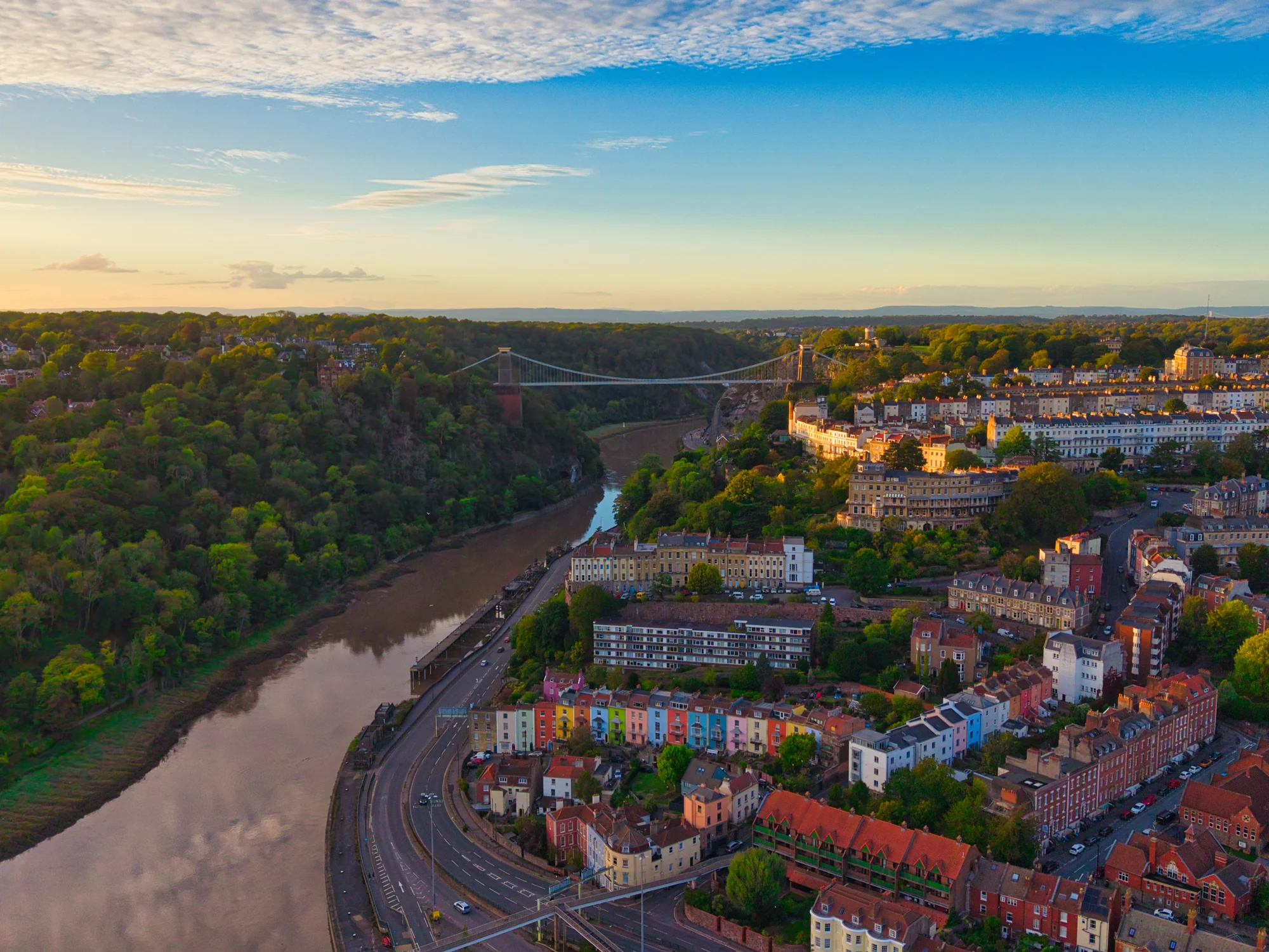
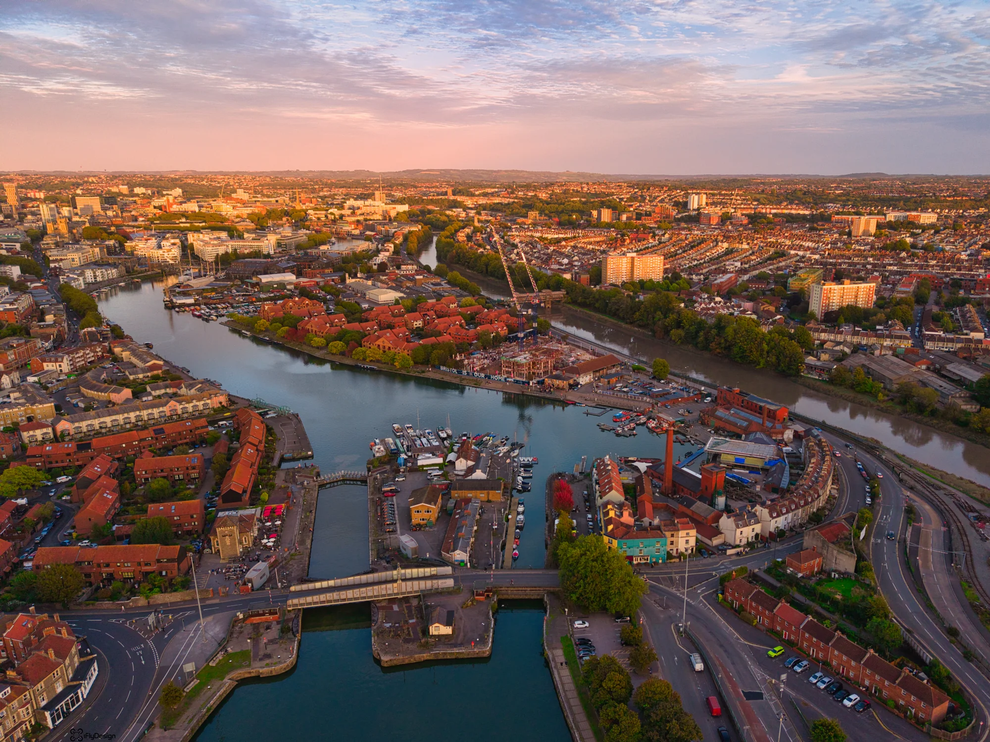
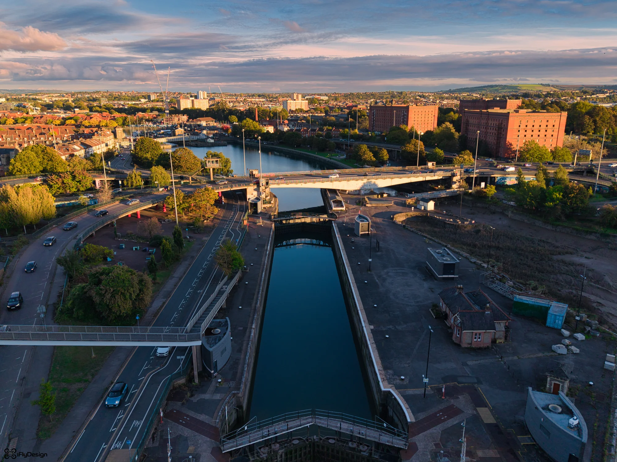
Professional aerial media
For photography and video enquiries, tell us the site location, intended use and the views or footage you need. We can discuss the brief and whether a flight is feasible at your location.
BES provides professional property media, construction-progress records and aerial content for retrofit projects and the built environment.
View photography and video examples →Frequently asked
Drone surveying is available throughout Bristol and South Gloucestershire, including Bradley Stoke, Southmead and Filton, subject to site-specific airspace, access, weather, privacy and safety checks. Wider projects across South West England and South Wales are considered individually.
Rain, strong wind, low visibility and unsafe site conditions can prevent useful or lawful capture. If conditions are unsuitable, the visit is rearranged.
No. It provides high-quality visual evidence of accessible surfaces from the air. Structural diagnosis, intrusive investigation or specialist design may still be needed.
That depends on the service: labelled photographs and observations, edited video, or agreed photogrammetry outputs. The quotation confirms formats and delivery.
Plan the capture
Send the property address, a brief description of the site and what you want the survey to investigate. Include photographs or existing plans if available, and tell us whether you need imagery, an inspection report or another agreed output.